

Geography Elementary Newsletter: Learning Updates for Parents
Geographic literacy is declining in American students, and it shows up clearly in elementary school. A geography newsletter that gives families concrete map activities and clear explanations of what students are learning can make a real difference, especially if it turns a household device like a phone or computer into a geography exploration tool that families already have.
Name the Specific Concept or Region
Open with the exact geographic focus. "This month, fourth graders are studying the physical geography of North America: major mountain ranges, river systems, and how elevation and climate interact." That specificity helps parents when their child asks them to help with a map assignment. Vague statements like "we are doing geography" give families nothing to work with when homework comes home.
Explain the Tools Students Are Using
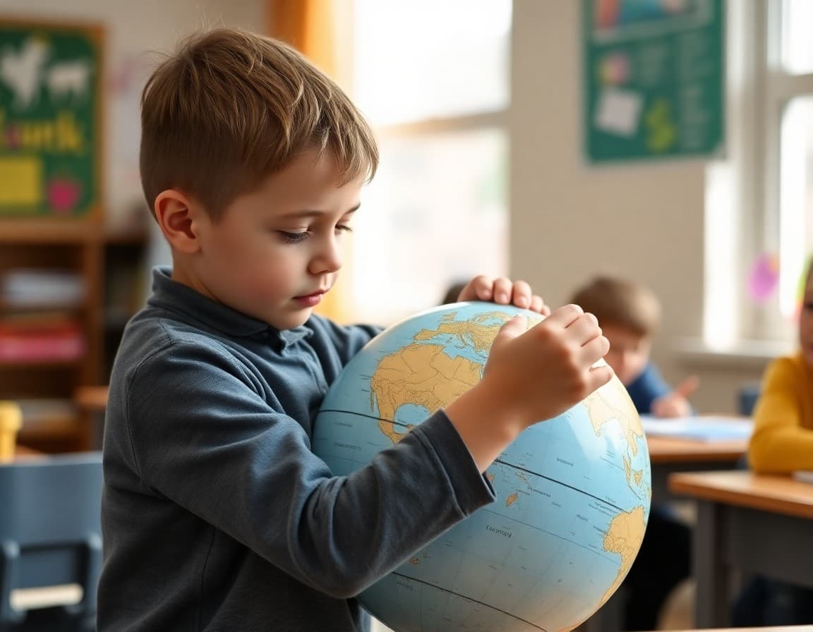
Modern geography instruction uses a range of tools. Let parents know what students are working with: "Students are using physical maps to identify major landforms, political maps to understand national and state boundaries, and climate maps to understand why different regions have different weather patterns. We are also using Google Earth to see satellite images of the same features, which connects the abstract map to the real landscape in a way that is hard to achieve with printed maps alone."
Suggest a Map Activity at Home
A specific map activity is the most valuable element of a geography newsletter. Keep it simple: "This week, open Google Maps or Google Earth with your child and find the Rocky Mountains. Zoom in until you can see individual peaks, then zoom out until you can see the full range. Ask your child: which ocean is to the west of the Rockies? Which is to the east? How do you think the mountains affect weather on each side? Those three questions cover the main geographic thinking skills we are building in class."
A Template to Adapt for Any Geography Unit
Here is a template geography section you can use each unit:
"This month in geography, we are studying [REGION OR CONCEPT]. Students are learning to [SKILL IN PLAIN LANGUAGE]. To explore this at home, open [MAP TOOL OR RESOURCE] and try [SPECIFIC ACTIVITY]. The vocabulary your child is using right now includes: [3-5 KEY TERMS WITH BRIEF DEFINITIONS]. These words appear in homework, map assignments, and class discussions this month."
This template works for any geographic topic across any elementary grade level.
Share Key Vocabulary With Definitions
Geography vocabulary is specific and builds on itself. A brief glossary helps families: "Elevation: the height of a place above sea level. Climate: the average weather pattern in a region over many years. Tributary: a smaller river or stream that flows into a larger one. Watershed: an area of land where all the water drains to the same river or lake. These terms appear in our current unit and in state geography standards through fifth grade."
Address Common Map Misconceptions
Elementary students, and many adults, have misconceptions about maps worth addressing: "You may have seen the Mercator world map that makes Greenland look almost as large as Africa. In reality, Africa is about 14 times larger. Maps are always distortions of the three-dimensional earth. Different projections distort different things. Part of geographic literacy is understanding what maps do and do not show accurately." That one insight changes how families look at every map they encounter.
Connect Geography to Current Events
News is full of geography. A brief suggestion helps families use it: "When a news story mentions a country, a river, or a region, look it up on a map together. When a hurricane forms, trace its path. When a new trade deal is announced, find the countries involved. Making geography a habit during news consumption builds knowledge naturally over time. Students who do this at home come to class with a working geographic vocabulary that accelerates every unit."
Suggest a Long-Term Map Project
For families who want to go deeper, a long-term project recommendation adds value: "Consider hanging a world map somewhere in your home where it gets daily attention. The refrigerator, the living room wall, or above a homework desk all work. Mark places your family has connections to, places in the news, and places students are studying at school. A map that accumulates marks over months becomes a record of geographic curiosity that no textbook can replicate." A simple wall map costs under $10 at any office supply store.
Get one newsletter idea every week.
Free. For teachers. No spam.
Frequently asked questions
What should an elementary geography newsletter include?
A geography newsletter should explain the geographic concepts or regions students are studying, describe how students are using maps and other tools to investigate questions, and suggest map-based or place-based activities families can try at home. Geography is a subject where digital tools like Google Maps and Google Earth are genuinely useful extensions that most families can access immediately.
What geography topics do elementary students study?
Early elementary students learn map basics like cardinal directions, map keys, and the difference between a city, state, and country. Upper elementary students study continents, oceans, climate regions, physical features like mountains and rivers, and the relationship between geography and human settlement. Many curricula also include map skills like reading latitude and longitude and identifying time zones. The specific scope varies by grade and state.
How can families build geographic literacy at home?
A world map or globe displayed in the home is one of the highest-impact low-cost educational tools available. Looking up the location of countries mentioned in the news, tracking where foods in the grocery store were grown, and using Google Earth to explore landforms students are studying all build geographic knowledge through casual, repeated exposure. Many families find that a wall map generates daily spontaneous geography conversations.
What are the most common geography misconceptions in elementary students?
Common misconceptions include: Africa is a country (it is a continent with 54 countries), all maps are equally accurate (Mercator projections distort size near the poles), and the equator is hot everywhere (high-altitude equatorial regions can be cold). Addressing these misconceptions directly in the newsletter helps parents have corrective conversations if they come up at home.
What tool makes geography newsletters easy to send to elementary families?
Daystage lets teachers include maps, geographic images, and activity suggestions in a clean newsletter format sent directly to families. You can build a geography template and update the region or concept each unit. For geography newsletters specifically, the ability to include images makes a meaningful difference in how families engage with the content.

Adi Ackerman
Author
Adi Ackerman is a former classroom teacher and curriculum writer with 8 years in K-8 schools. She writes about school communication, parent engagement, and what actually works in real classrooms.
More for Elementary
Ready to send your first newsletter?
3 newsletters free. No credit card. First one ready in under 5 minutes.
Get started free