
Geography Middle School Newsletter: Learning Updates for Parents

Geography is the subject that makes sense of the news. When a conflict breaks out, geography explains why that location matters. When a trade agreement is negotiated, geography explains what resources are at stake. When a natural disaster strikes, geography explains why that region is vulnerable. Students who leave middle school with strong geographic thinking are better equipped to understand the world they are going to inherit than students who only learned a list of capitals.
Name the Current Unit and Region
Your newsletter should open with the specific focus. Sub-Saharan Africa: examining how colonialism drew borders that ignored existing cultural and ethnic boundaries, and what the consequences are today. Southeast Asia: understanding the relationship between monsoon patterns and agricultural systems. The Middle East: analyzing why this region has been geopolitically significant across thousands of years. Naming the region and the organizing question gives families a framework for real-world connection.
Explain the Geographic Thinking Skill
Every geography unit is also a skill unit. Tell families what skill students are practicing. Reading and interpreting thematic maps. Analyzing population density data and explaining the pattern. Comparing two regions using specific geographic criteria. Using longitude and latitude to locate specific places. When families know the skill, they can reinforce it in everyday contexts.
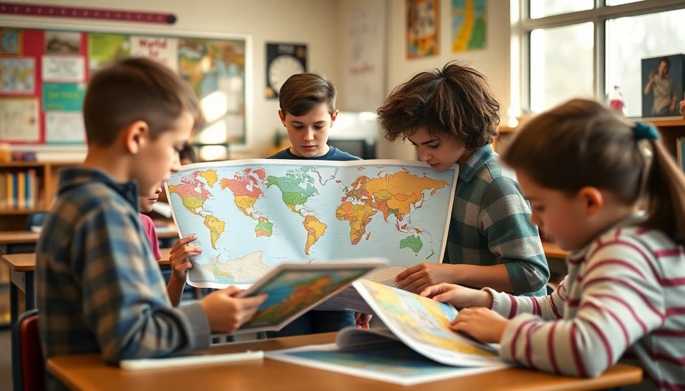
Share a Map Activity
Here is a format for home geography extension:
"Extension activity this week: open Google Maps or an atlas to the region we are studying. Ask your child to point out: one major river, one significant mountain range, the largest city, and the neighboring countries. Then ask them to explain why the largest city is located where it is (most cities in most regions grew near rivers, coastlines, or trade route intersections for specific historical reasons). That five-minute activity reinforces both map skills and the human geography thinking we are doing in class."
Connect Physical and Human Geography
The most important thing to help families understand about middle school geography is the connection between physical features and human patterns. Cities are where they are because of rivers, harbors, or mountain passes. Agricultural systems develop based on climate and soil. Migration routes follow the path of least geographic resistance. Your newsletter can make one of these connections explicit for the current unit so families understand what the analytical goal is, not just what region students are studying.
Use Current Events to Make Geography Real
Geography drives news stories every week. A drought in East Africa is connected to the climate patterns students are studying. A border dispute between two countries connects to the colonial history your class just covered. A natural disaster in an island nation connects to what students know about plate tectonics and geography. Name one current event connected to the unit underway and ask families to discuss it with their child.
Explain the Map Assessment Expectations
If your class has a map labeling assessment coming up, tell families what they need to know: which countries, capitals, physical features, or regions are on the list. Provide the list in the newsletter itself if possible. Geographic identification is a skill that improves with repeated practice on a map, not from reading a textbook. Families who know the list can run quick map quizzes with their child.
Invite Heritage Connections
Every geography unit connects to the heritage of someone in your classroom. When you are studying a specific region, invite families from that region to share their knowledge and perspective, either as guest speakers or by sending in photos or cultural items. The lived knowledge of a family member who grew up in the region being studied is more powerful than any textbook description.
End With a Geographic Curiosity
Close your newsletter with a geographic fact or question that sparks interest. Did you know that more people live within a circle around Bangladesh than in the rest of the world combined? Why does Russia have eleven time zones? What would happen to coastal cities if sea levels rose by two meters? Daystage makes it easy to add a closing curiosity that sends families away from the newsletter wanting to know more about the world.
Get one newsletter idea every week.
Free. For teachers. No spam.
Frequently asked questions
What does middle school geography cover?
Middle school geography typically covers physical geography (landforms, climate, water systems), human geography (population distribution, urbanization, migration patterns), cultural geography (language, religion, economic systems by region), political geography (borders, nation-states, geopolitical relationships), and geographic skills including map reading, data interpretation, and spatial reasoning.
How is middle school geography different from memorizing capitals and countries?
Modern geography instruction focuses on understanding why things are where they are and how place shapes human experience. Students learn to analyze why certain cities grew where they did, how climate affects economic activity, why migration patterns follow specific routes, and how geographic features influence political boundaries. Capital memorization is a small part of a much larger spatial reasoning curriculum.
How can families extend geography learning at home?
Use an atlas or Google Earth to follow along with what students are studying. Watch travel and culture documentaries. When news stories reference a specific country or region, find it on a map together. Ask your child to explain what they know about the geography of their heritage region. Map reading is also a practical family skill: pull out a paper map on a road trip and ask your child to navigate.
What geography skills do middle schoolers typically struggle with?
Map scale and distance calculation are consistently challenging. Understanding latitude and longitude functionally rather than just definitionally is another area of difficulty. The relationship between physical geography and human settlement patterns requires complex multi-causal thinking that students need to practice. Map labeling accuracy under test conditions is also a common struggle.
What tool can I use to send geography unit newsletters to middle school families?
Daystage works well for geography newsletters because you can include map images, region summaries, real-world connection suggestions, and upcoming assessment information in one engaging format that families can access throughout the unit.

Adi Ackerman
Author
Adi Ackerman is a former classroom teacher and curriculum writer with 8 years in K-8 schools. She writes about school communication, parent engagement, and what actually works in real classrooms.
More for Middle School
Ready to send your first newsletter?
3 newsletters free. No credit card. First one ready in under 5 minutes.
Get started free